Title
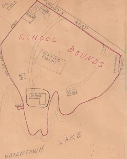
L&C, Map 1932 | Hand-drawn Map of the School Boundaries
Date
1932
Notes
This hand drawn map lays out the school boundaries from the Farm to Mr. Cedric Cooper's house on County Road (now Noxontown Road); and along the stream and pond borders. Mapmaker is unknown.
Map in EP Scrapbook 1.
Map in EP Scrapbook 1.